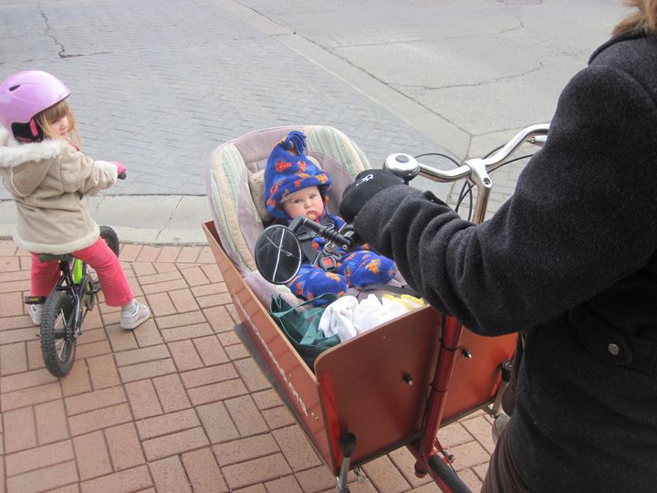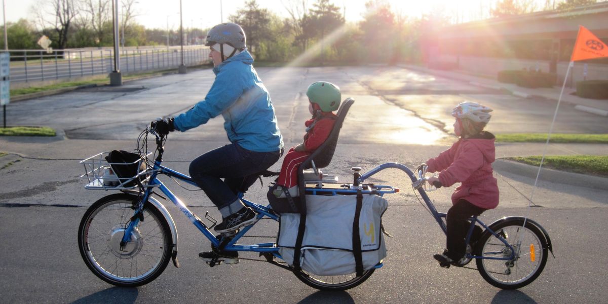
Training with Sleep Dog: First Long Ride with a Nap-prone Toddler
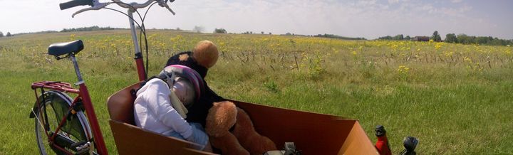
Sleep Dog worked hard.
I had a particularly tough assignment for the large stuffed animal and I wasn't sure he was up to the task.
I stood next to our bakfiets cargo bike, knelt down and asked my 16-month-old daughter Therese her opinion: "Are you ready to