How to create a missing sidewalk map in QGIS
If you've got a GIS map of your city's roads and a map of your city's sidewalk, you can use the QGIS software to create a map of your missing sidewalks. A missing sidewalk map can be useful to plan where new sidewalks should go or to audit transportation equity.
The steps I used are explained in this video and also below.
- Download and install QGIS if you haven't already. https://qgis.org/en/site/
- Obtain your City's road and existing sidewalk layers in a vector format if you haven't already. I used GeoJSON.
- Determine the UTM Zone of your location. The answer will be something like UTM Zone 16, also noting "N" for Nothern hemisphere and "S" for south.
- In QGIS, use "Layer: Add Layer: New Vector Layer" to load each map layer.
- In the properties for each layer, convert the CRS layer to a projected CRS based on your local UTM Zone, like "WSG 84 / UTM zone 16N". This is necessary to use meters or feed in the next step instead of degrees. When I made the video, I hadn't learned about Coordinate Reference Systems in QGIS and converted feet to degrees.
- In QQIS, use "Vector: Geoprocessing Tools: Buffer" and select the sidewalk layer. Buffer it out 50 feet converted to degrees.
- In QGIS, use "Vector: Geoprocessing Tools: Difference", select the road layer as the Input layer and the buffered sidewalk layer as the overlay.
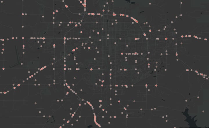
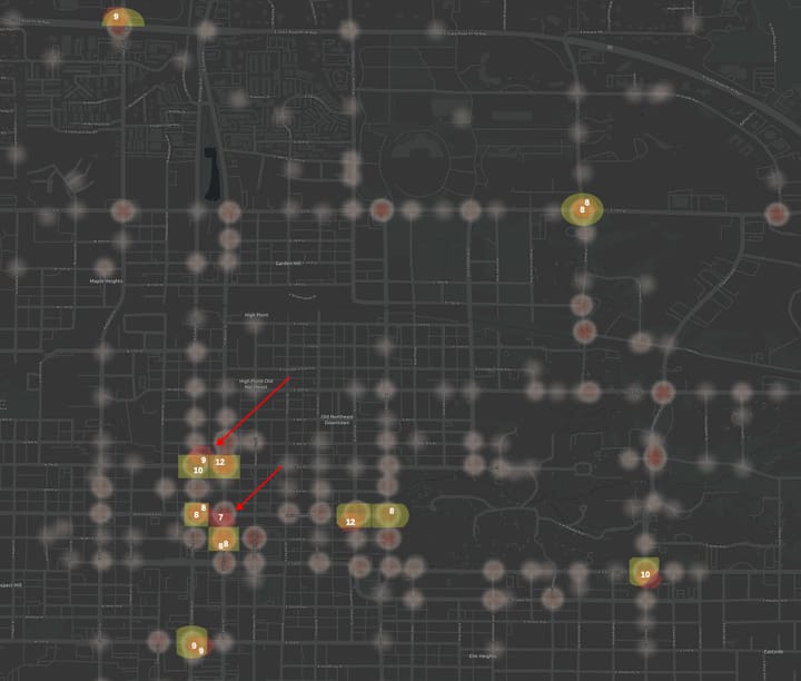
The resulting layer is a map of roads of with no sidewalks. The resulting map is not particularly clean. There's a probably a better way to create a missing sidewalk map. Let me know in the comments!
I wanted to highlight the missing sidewalk layer on another map, so I followed the process above to "buffer" it out 10 more feet. If your map display software supports handling this as a display/styling issue-- that's a better way to do it.
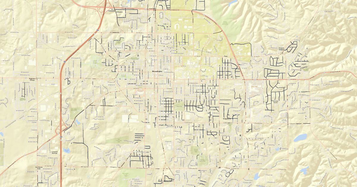
This was originaly done for the Sidewalk Equity Audit I conducted for Bloomington, Indiana.
Comments ()