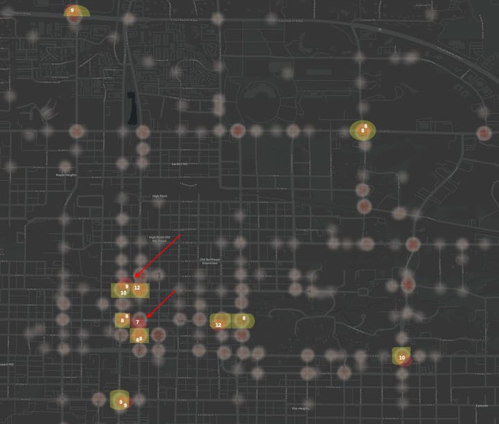
Intersection Crash Analysis with QGIS How to perform four different methods of intersection crash analysis. Compares how and why the results differ.
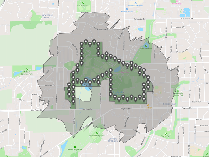
Measuring the Walk Potential of Large Amenities To calculate the Walk Potential around most amenities, we find the center of amenity, and generate a 10-minute walk radius around it. This area called a "ped shed" or more technically an isochrone. That works well for a small downtown store front, but it's not great
How to find out if bike lanes will fit on your street for $25. There are likely roads in your own community that you suspect are already wide enough to accommodate a bike lane– They just need stripes to mark the lane. You can check road widths yourself by using a measuring wheel, found for about $25 on E-bay. A measuring wheel measures distances
Why is biking not recommended on sidewalks, but is on multi-use paths? Plenty of bike advocates will recommend against biking on sidewalks, but at the same time will recommend biking on multi-use paths. Both are often next to roads and intersect with roads. So what's the safety difference between biking on a sidewalk on a multi-use path? Other similar bike
Richmond, Indiana Reeveston Road and 24th Street intersection makeover Here's a suggestion to improve walk-to-school safety for Charles Elementary School in Richmond, Indiana. I sent this to the Richmond City Planner in 2013. Although it was well-received, Google Maps shows the intersection remains with all the same problems. I've since moved to a new town
Richmond, Indiana 15th and South D intersection improvement Here's a suggestion to improve walk-to-school safety for a Vaile Elementary School in Richmond, Indiana. I sent this to the Richmond City Planner in 2013. Although it was well-received, Google Maps shows the intersection remains with all the same problems. I've since moved to a new